|
CLICK
PHOTOS FOR A LARGER VERSION
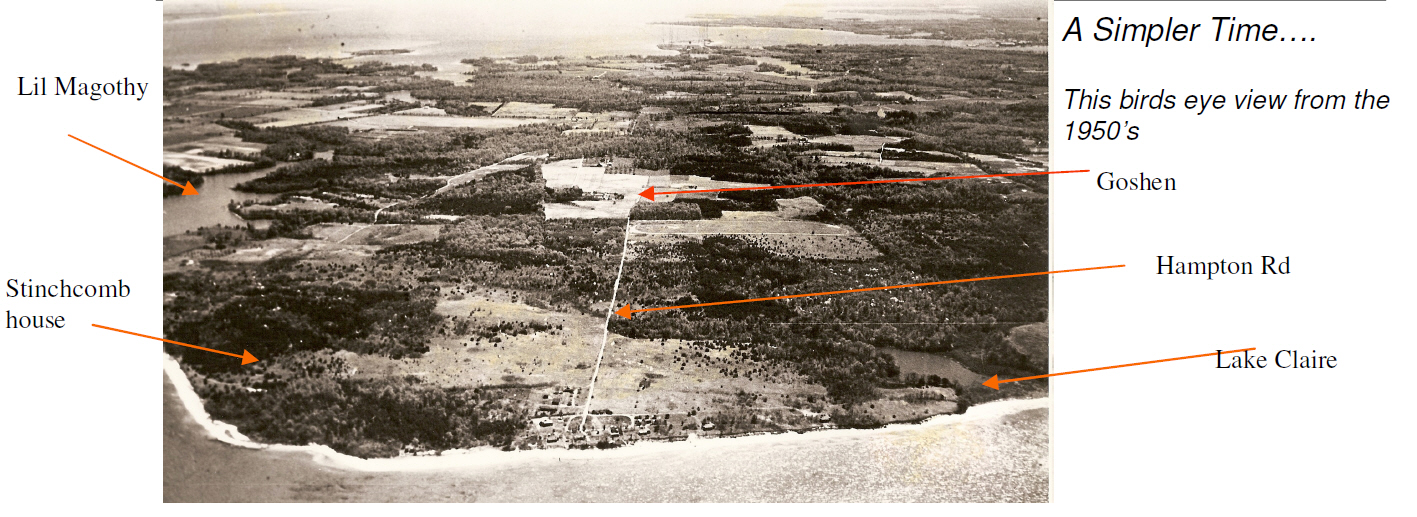
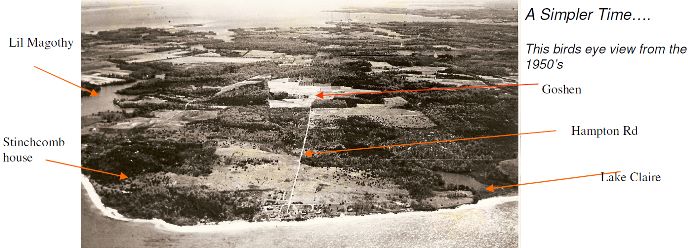
Historical Photo
HI-RES Aerial Photo 2014 as JPG
click HERE.
HI-RES Aerial Photo 2014 as PDF
click HERE.
HI-RES Aerial Photo 2014
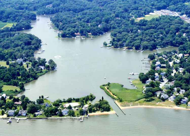
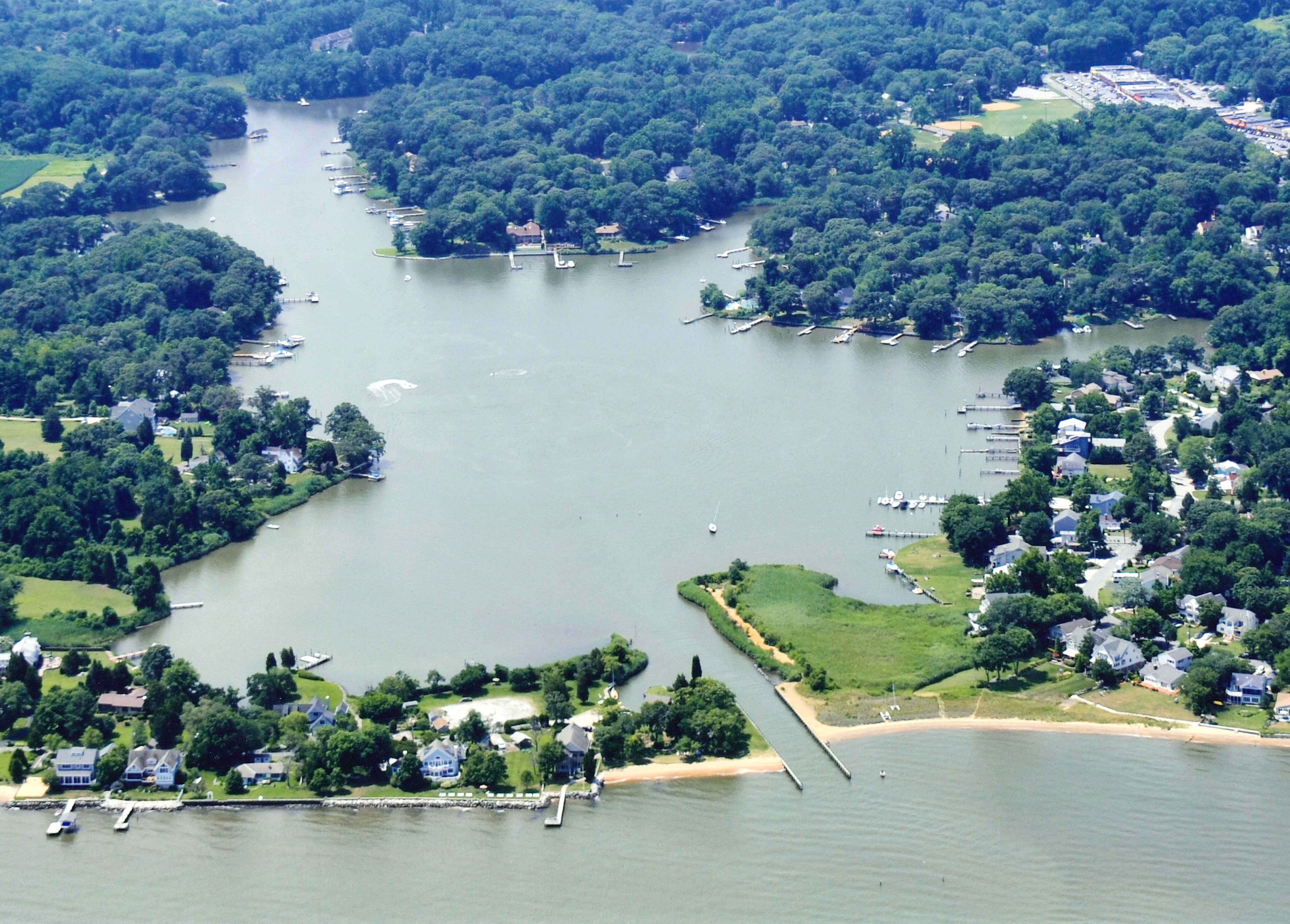
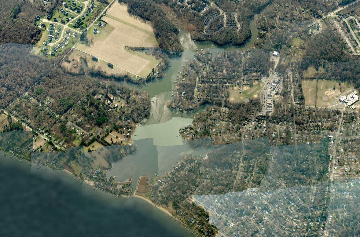
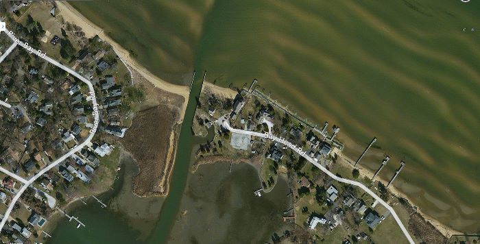
Aerial Photo
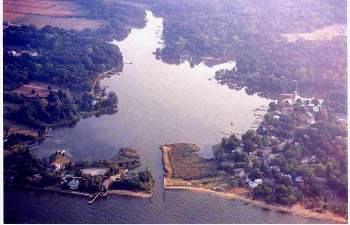 Before Dredging (Notice
inlet channel is filled in)
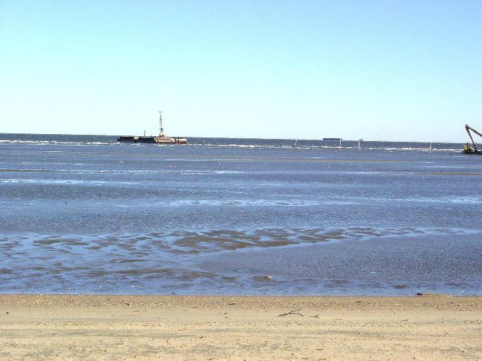
Original Dredging Fall / Winter 2007

Original Dredging Fall / Winter2007
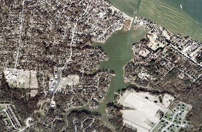
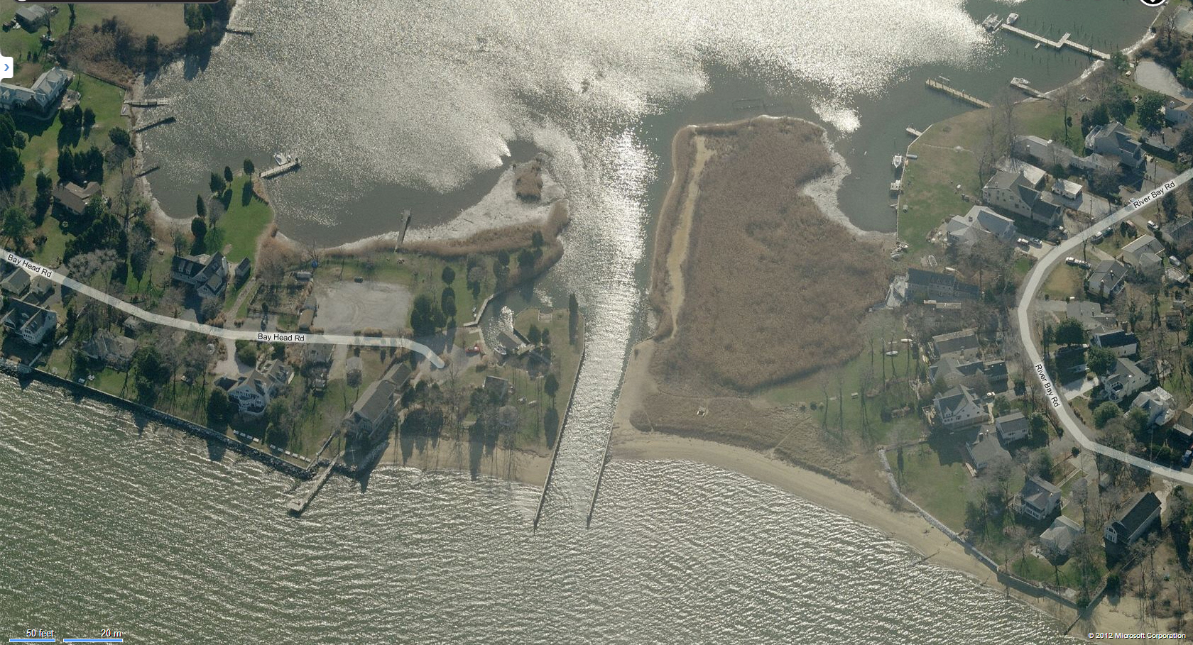
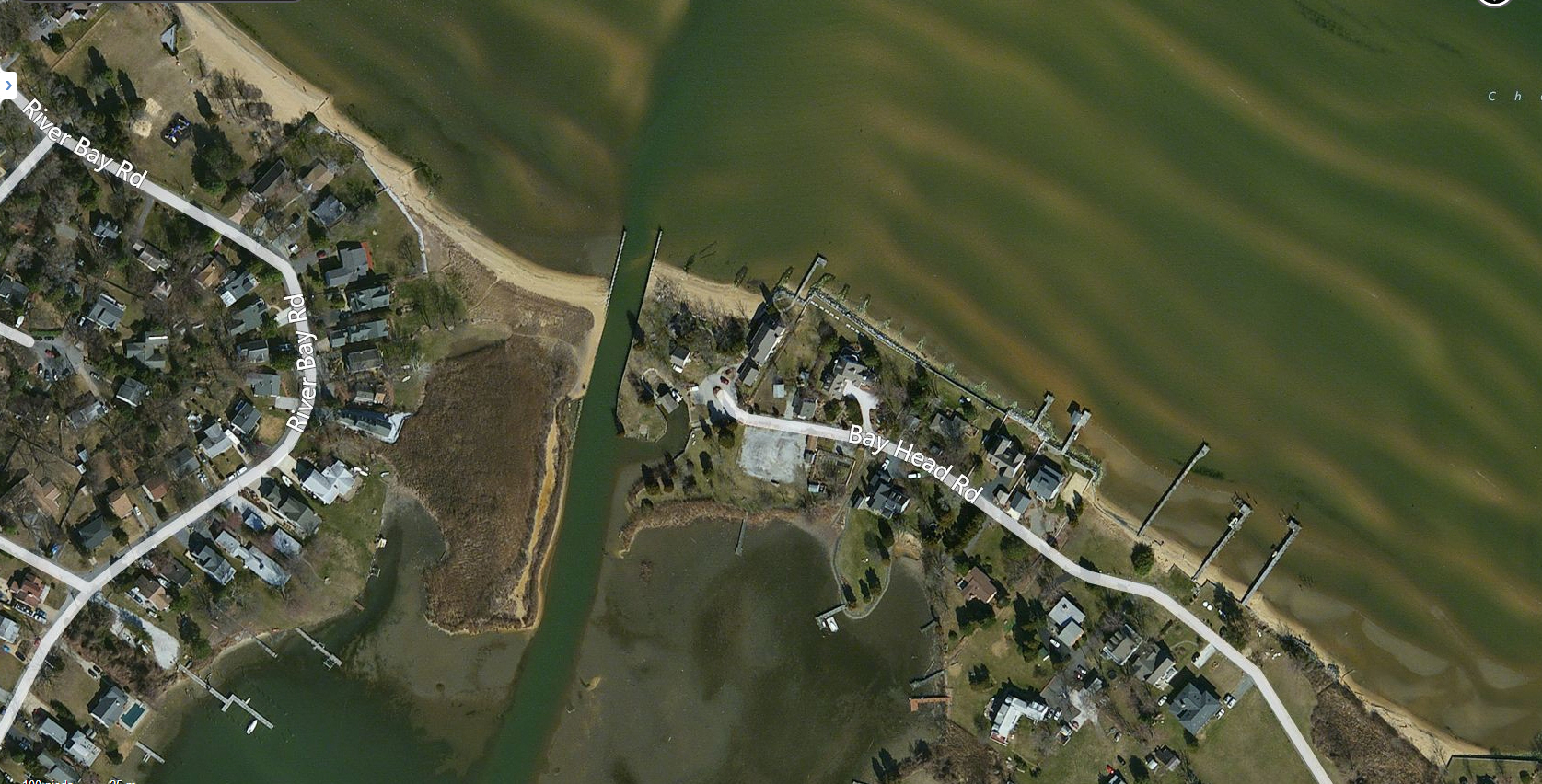
Overhead 2012
** LARGE** Overhead
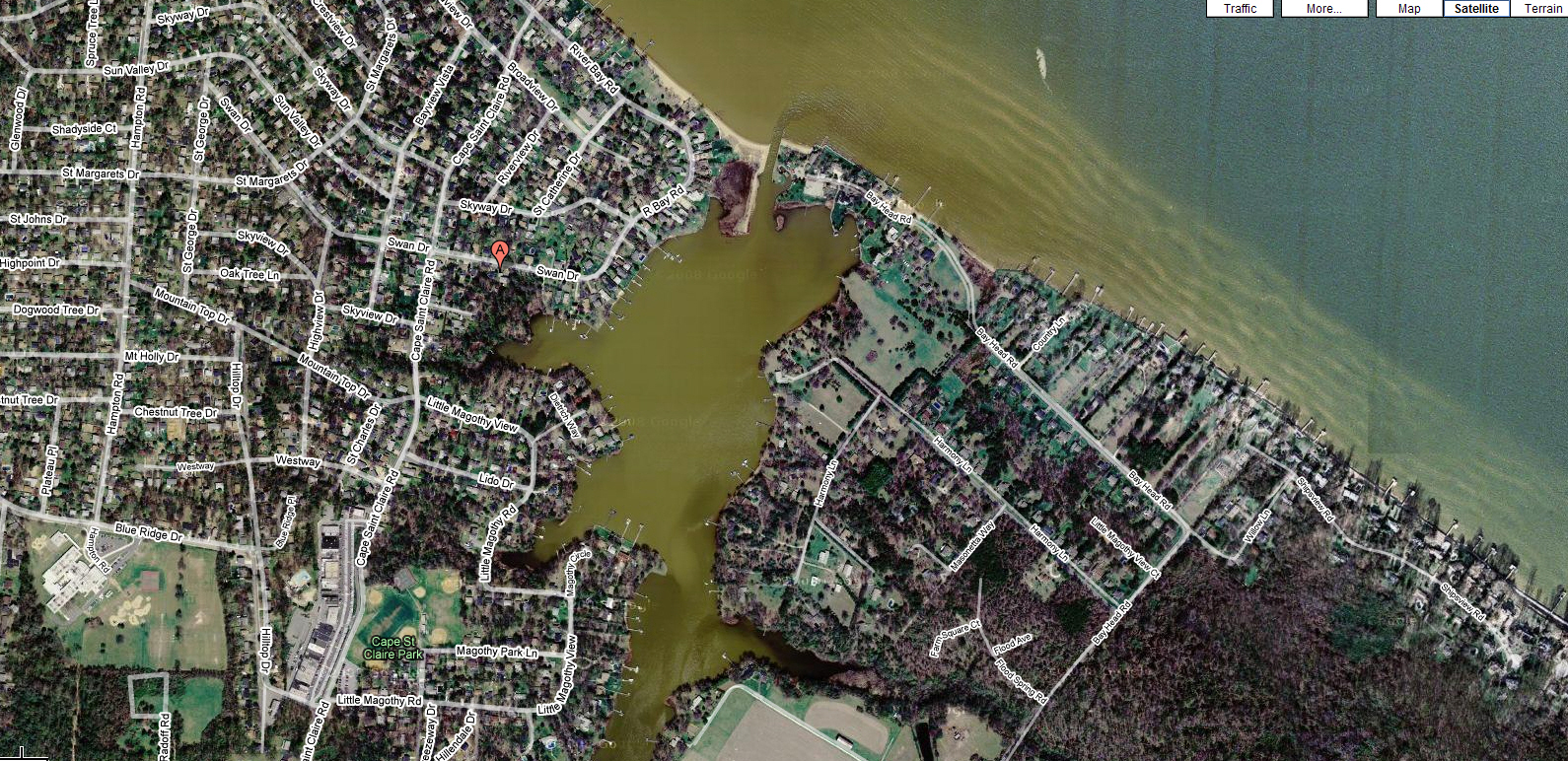
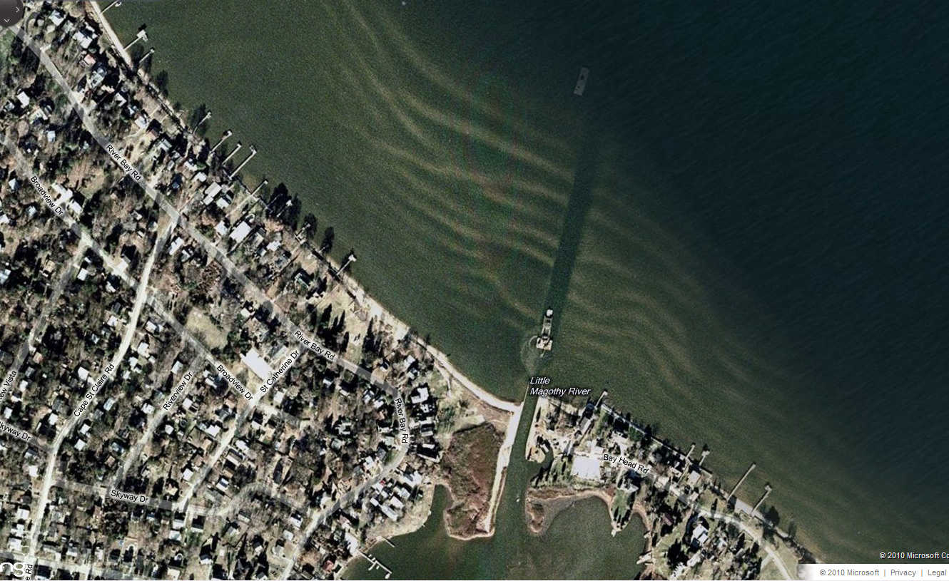
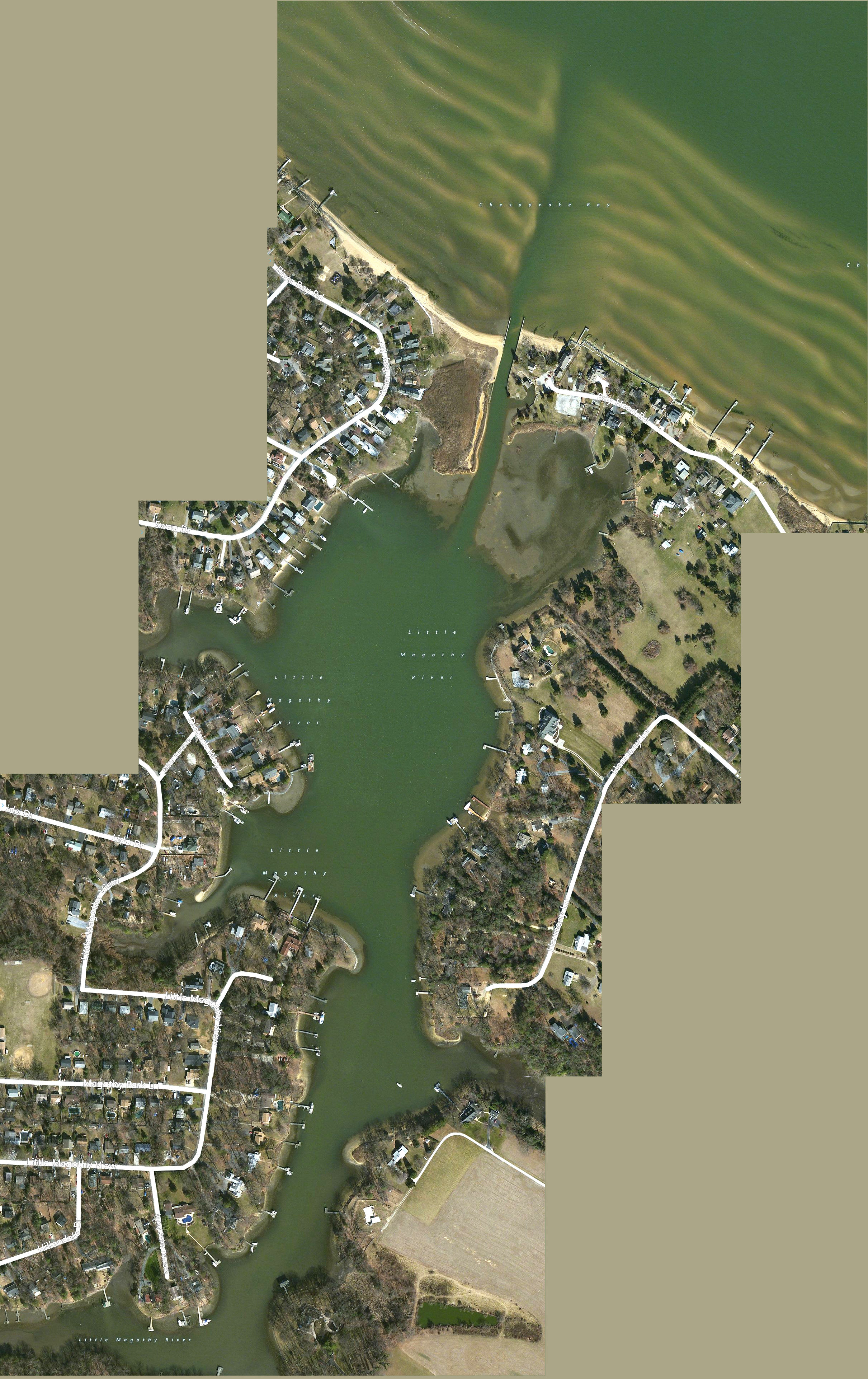
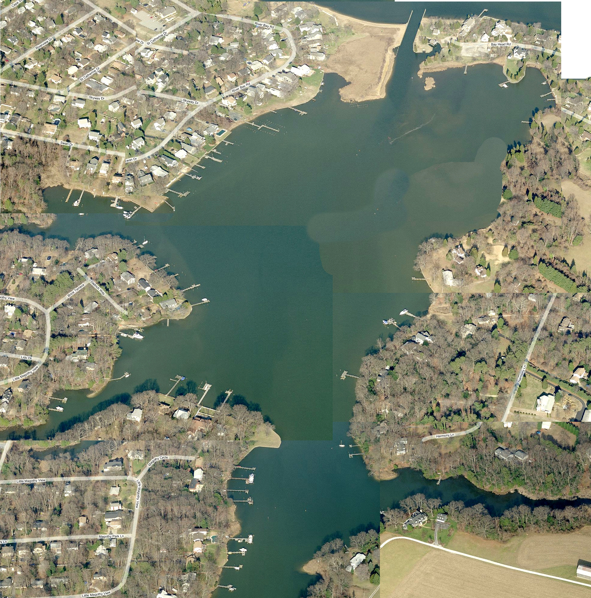
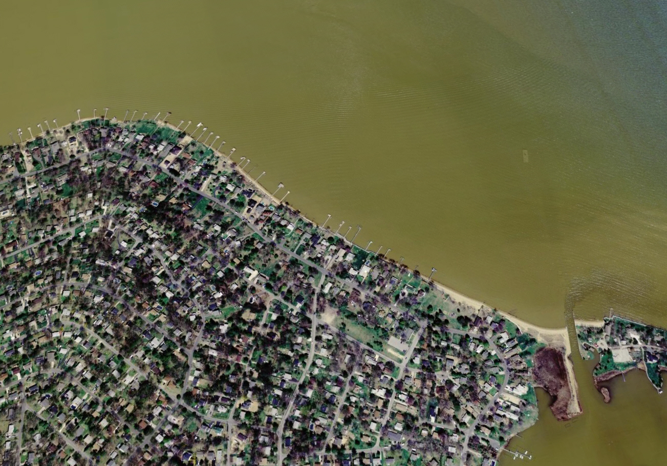
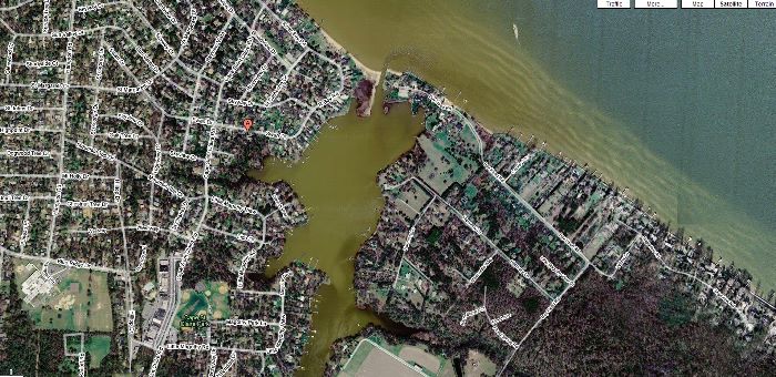
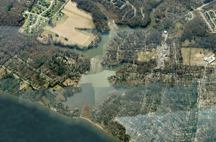
Composite Google Earth Photo
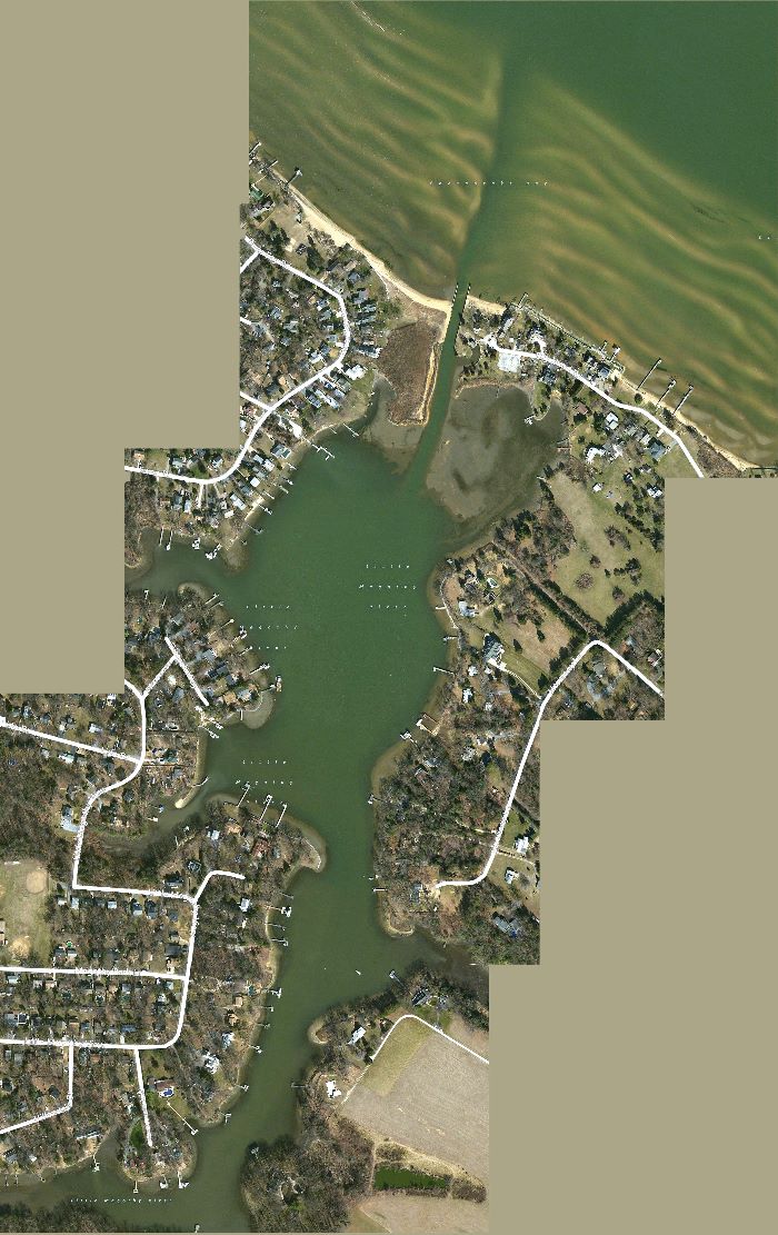
Composite Google Earth Photo

Composite Google Earth Photo 2012
Notice Tidal / Wave / Storm effects on transition of sand bottom
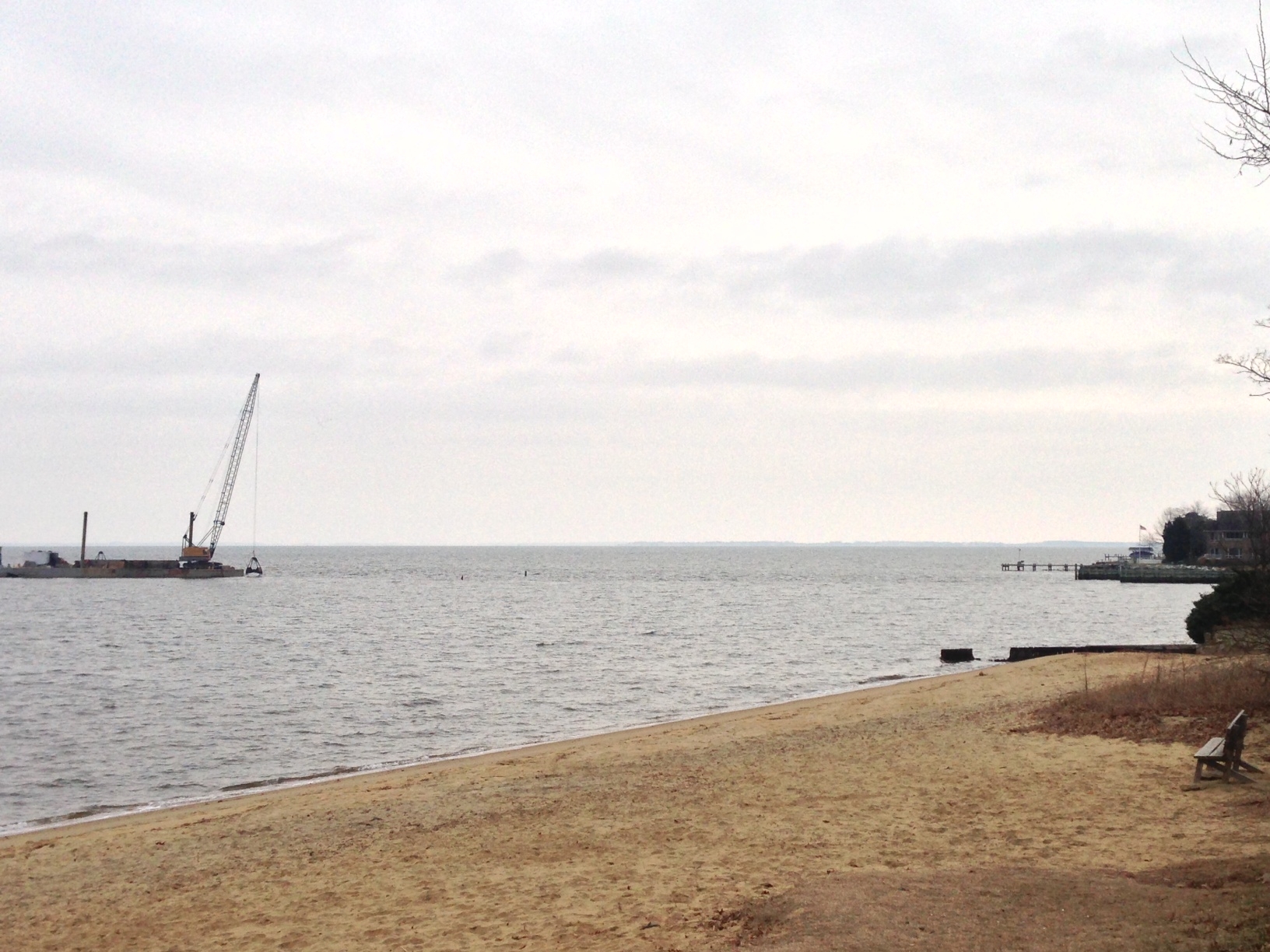
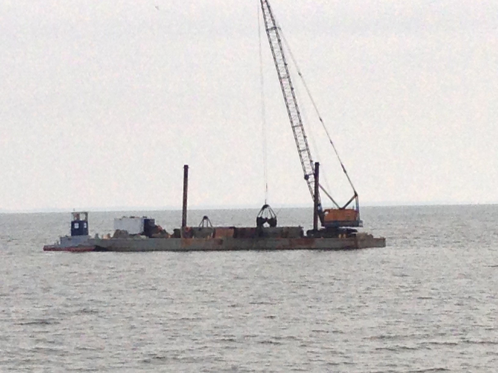
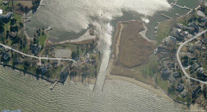
Maintenance Dredging Of 2014
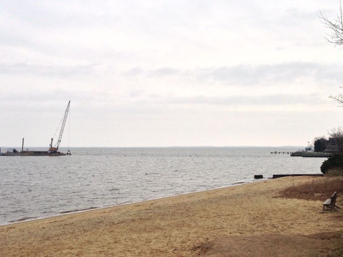
Maintenance Dredging Of 2014
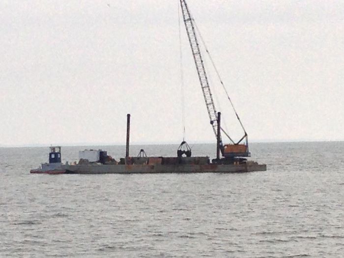
Maintenance Dredging Of 2014
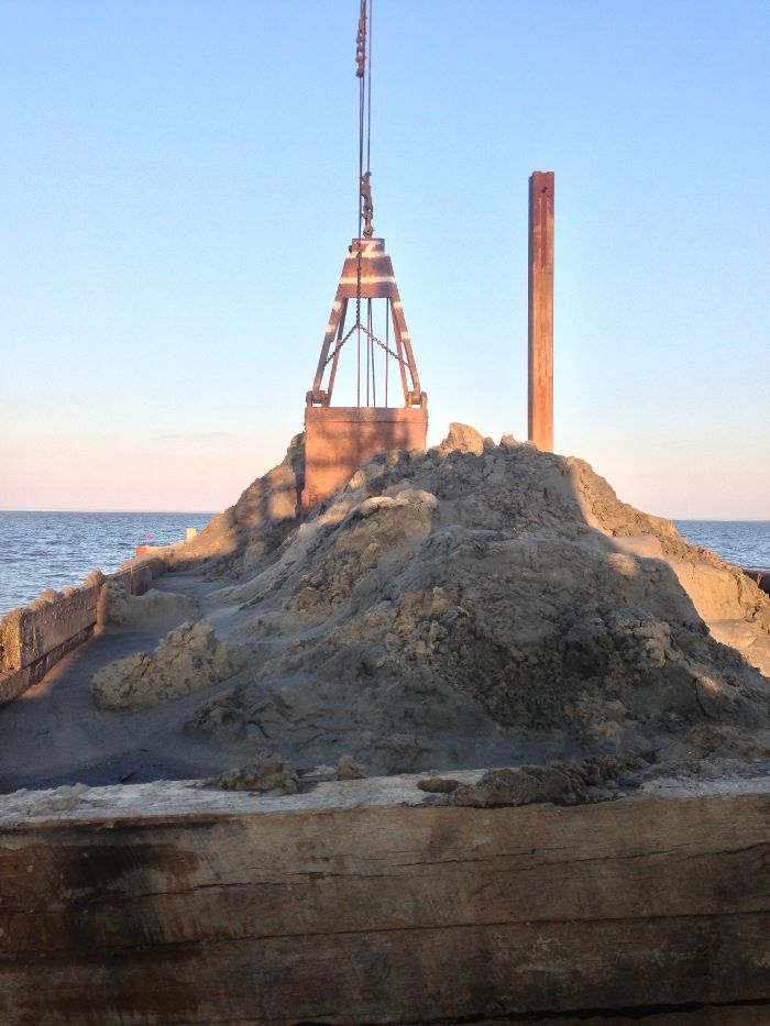
Notice The High Quality Of Sand Removed. This can be
recycled / resold
For Local & Community Coastal Restoration Projects
Reducing Dredging Costs
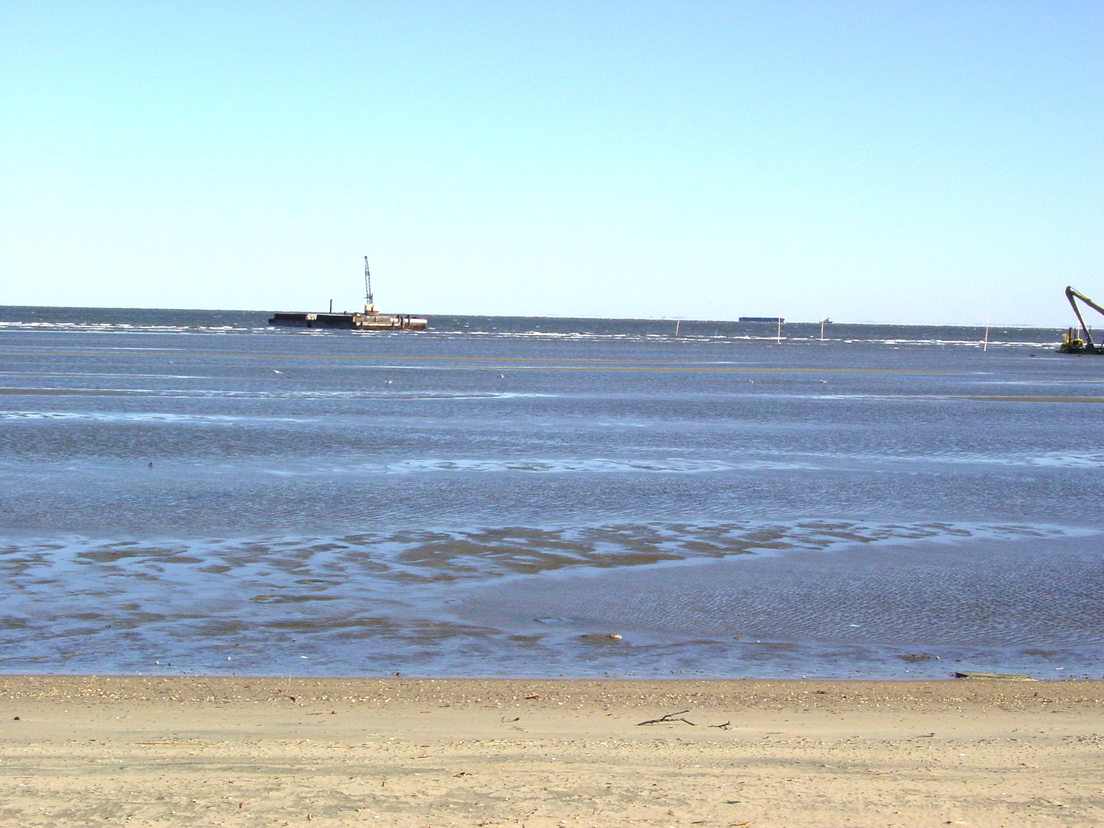
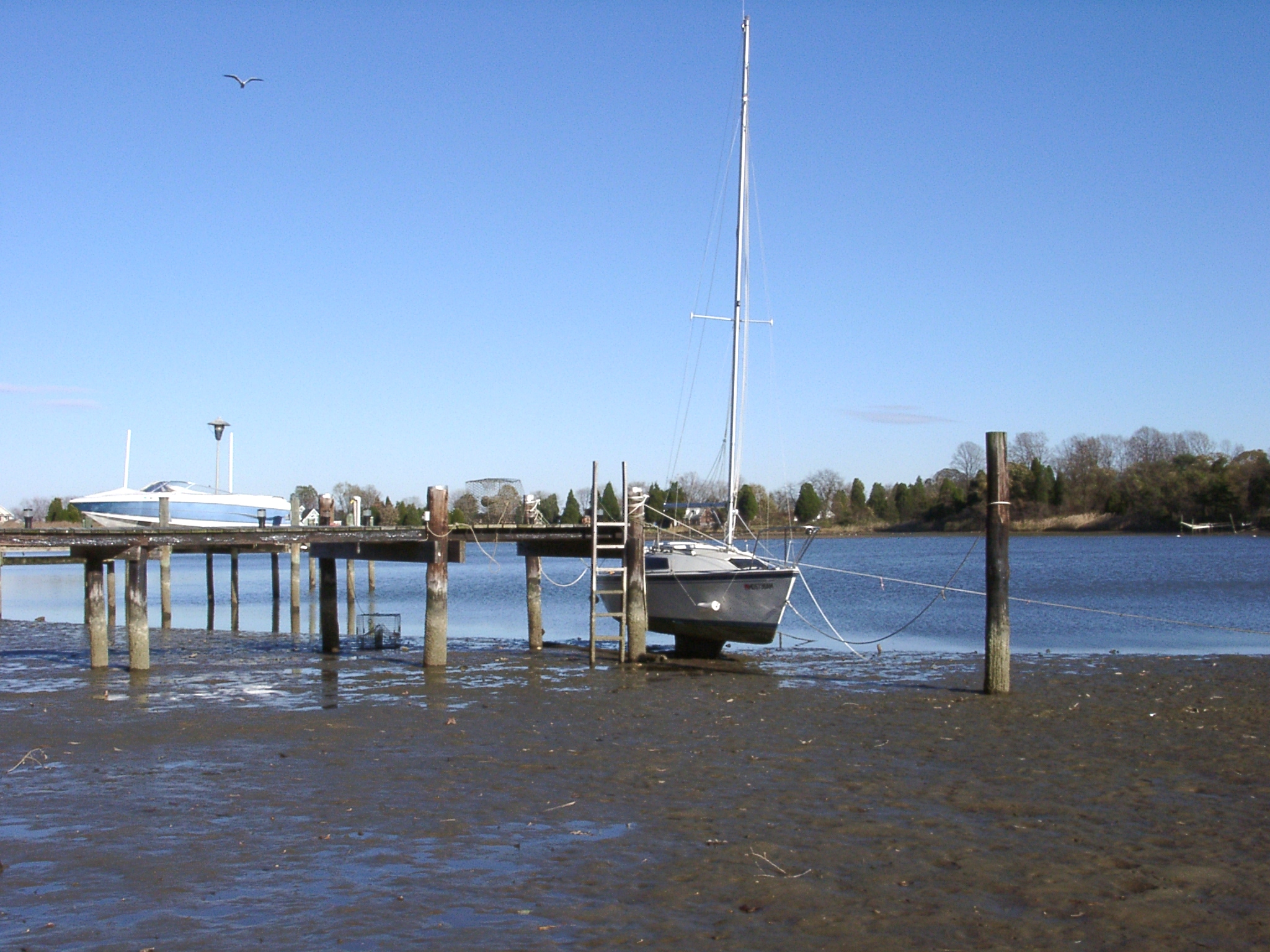
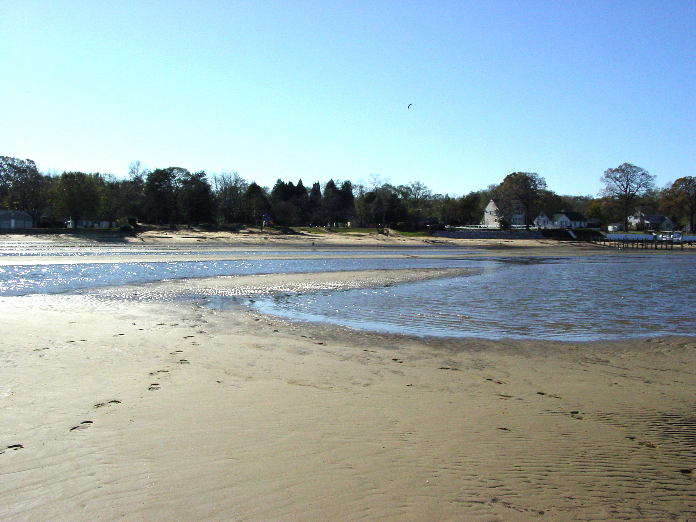
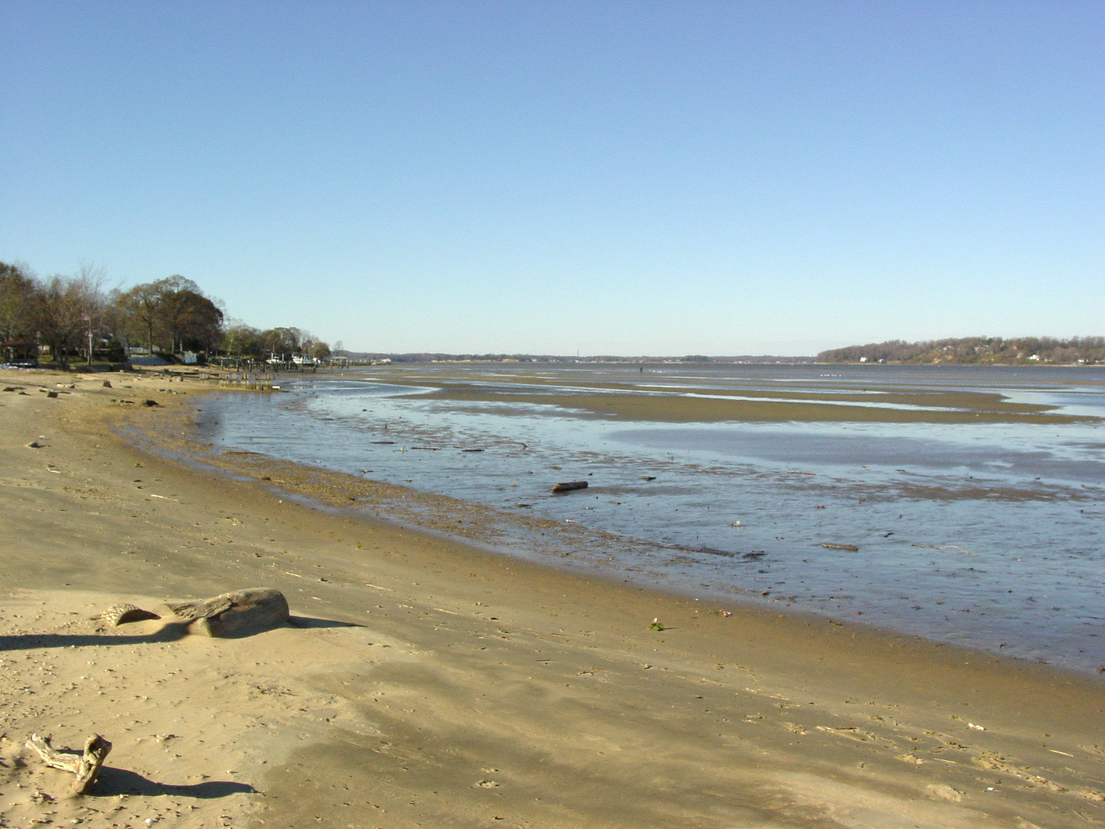
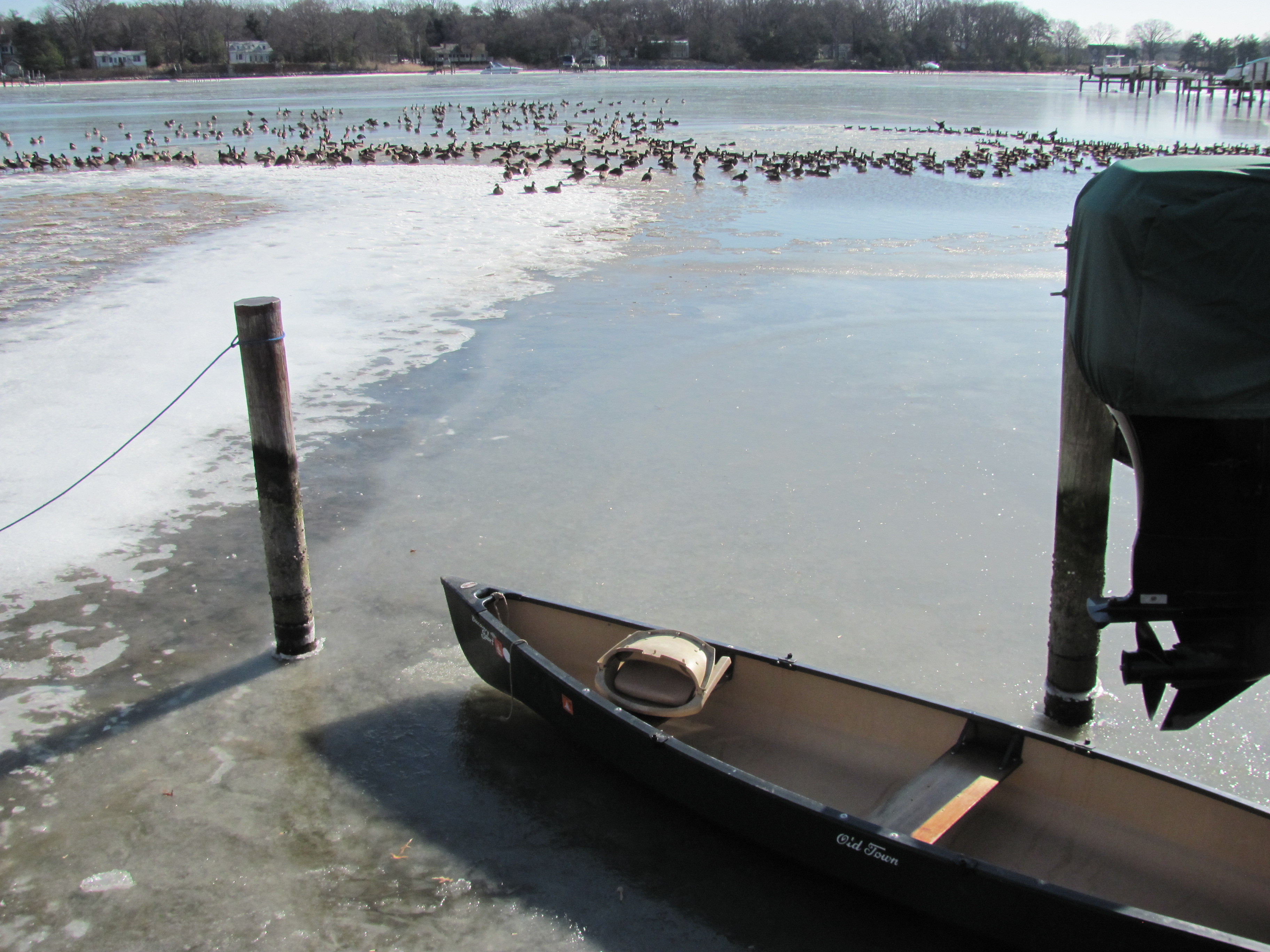
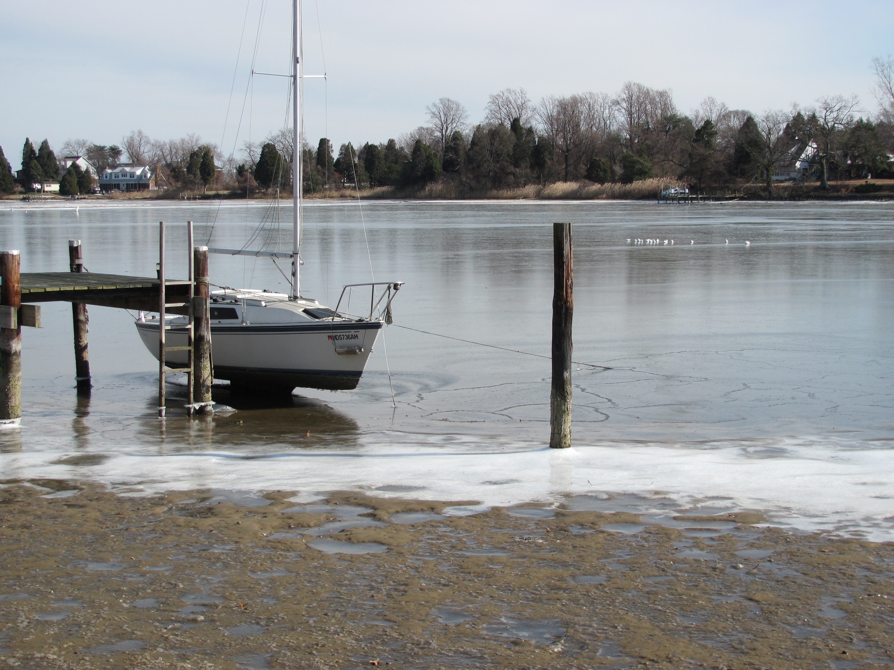
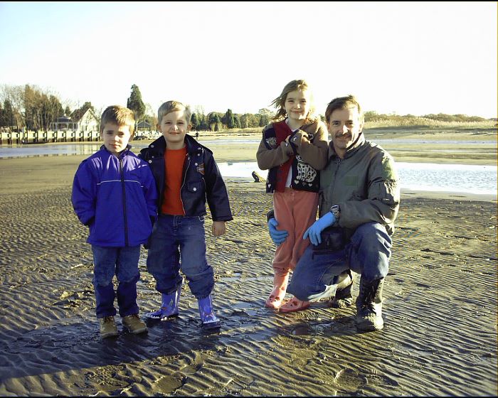
Original Dredging Winter 2007/2008 - Rare Low Tide
Rare Low Tide 2008
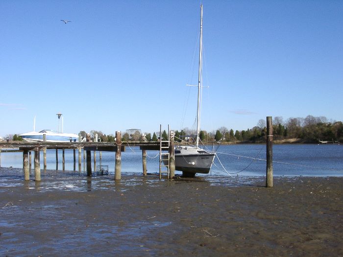
Rare Low Tide 2008
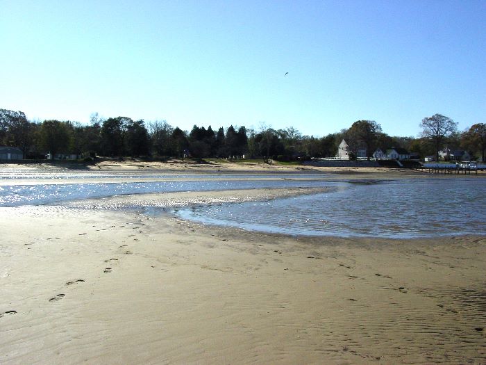
Rare Low Tide 2008
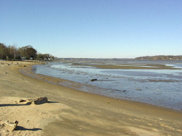
Rare Low Tide 2008 River Inlet In Backround
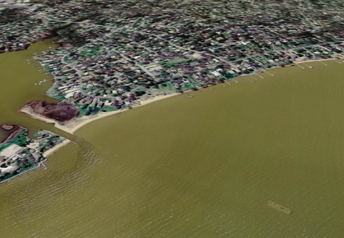
The "Phantom Sunken Barge"
Google Earth "Blends" Newer Satellite Photos Over The
Older Ones
The Dredge Barge From 2007 Satellite Photo gets
"Blended" Under Water

The Underwater Barge Is Not Really There

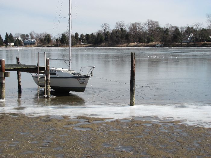
River Frozen
 .
|